Surveying Engineering Lab
Surveying Engineering Lab
Surveying laboratory includes three main sections. The first is for ground surveying instruments and its accessories. The second is for aerial photogrammetry, and the third is a computer lab for Remote Sensing and GIS software applications.
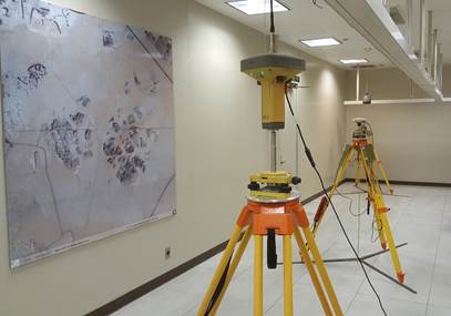
Ground Surveying Lab: includes all necessary instrumentation for conducting ground surveying work; levels, Total Stations, and GPS receivers sets (hand held, static and RTK) , all equipment are at the latest versions and manufactured by the most famous companies known in this field, Leica, Topcon, Sokkia, Zeiss, and Kern.
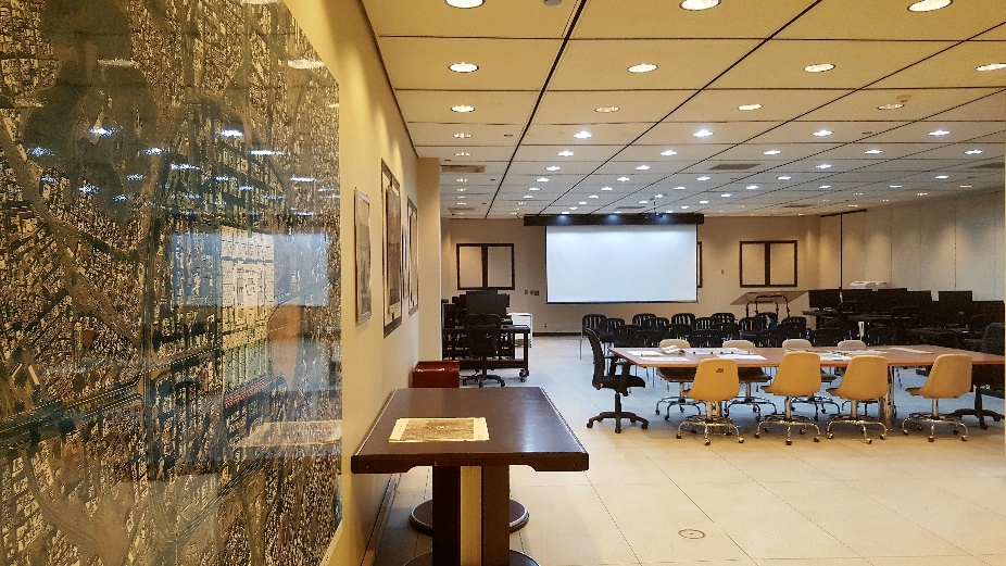
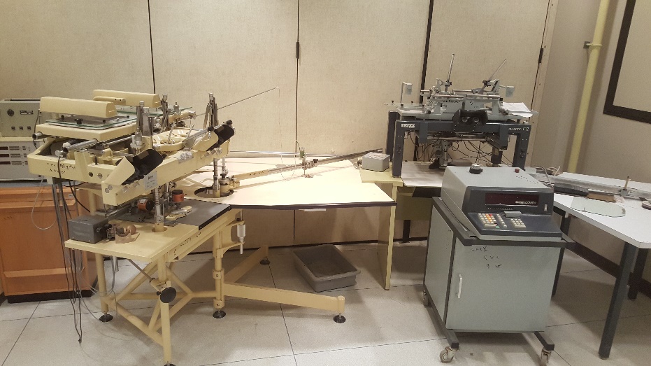
Photogrammetry lab: includes different versions from analog stereo-plotter like B8 and also a recent analytical stereo-plotter Leica AC1 connected to A0 table-plotter for map productions.
Apparatus/Facilities in Surveying Engineering Laboratory
|
S.No. |
Name of Laboratory |
Name of Apparatus(Instrument) or Facility |
Type of Test or analysis performed by the apparatus(Instrument) |
Location of Apparatus |
Person In charge |
Contact Number |
|
1 |
Remote sensing & Digital Photogrammetry |
Digital 3D programs |
Digital 3D view & processing |
AA1 |
Mr. Mohammad Sehli |
46-75649 0552422655 |
|
2 |
Photogrammetry |
Classical Photogrammetry Instruments & Land Surveying Programs |
Calculating & processing Data & drawing Maps |
AA2 |
Mr. Mohammad Sehli |
46-75649 0552422655 |
|
3 |
Surveying Instruments Workshop |
Calibration Instruments |
Repairing &Calibration Surveying Instruments |
AA13 |
Mr. Mohammad Sehli |
46-75649 0552422655 |
|
4 |
Electronic Surveying Instruments |
Total Stations , Digital Levels, Image Station |
Surveying Projects |
AA14 |
Mr. Mohammad Sehli |
46-75649 0552422655 |
|
5 |
Planimetric Area measuring |
Planimeters |
Determine the area of Any Shape |
AA15 |
Mr. Mohammad Sehli |
46-75649 0552422655 |
|
6 |
Stereoscopes |
Mirror Stereoscopes |
3D view |
AA16 |
Mr. Mohammad Sehli |
46-75649 0552422655 |
|
7 |
Surveying Camp Instruments |
Total stations , Digital Levels , Surveying Tools |
Surveying camp Projects |
AA17/1 |
Mr. Mohammad Sehli |
46-75649 0552422655 |
|
8 |
GNSS Instruments |
Global Navigation Satellite System Instruments |
Determine the Location By Satellites |
AA17/2 |
Mr. Mohammad Sehli |
46-75649 0552422655 |
|
9 |
GIS Lab |
Geographic Information System Programs |
Capture, Store, Manipulate, Analyze, Manage Data |
AA19 |
Mr. Mohammad Sehli |
46-75649 0552422655 |
|
10 |
Land Surveying |
Tapes ,Prisms, Levels , Theodolites |
Measuring Angles , distances, levels Etc |
AA20 |
Mr. Mohammad Sehli |
46-75649 0552422655 |
Photos Gallary